| Roads |
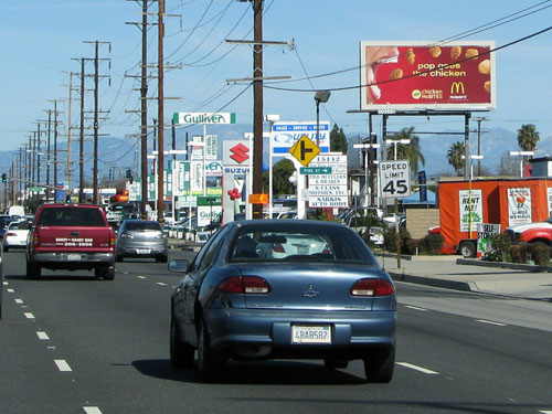
Ashland Road (U.S. 250, Ashland County) (4 faces) — reaching the billboard-dense corridor along U.S. 250 through Ashland County, connecting the Cleveland DMA’s southern markets with the Mansfield area and serving agricultural businesses, light industrial traffic, and residential commuters along one of northeastern Ohio’s most billboard-active surface routes. Ohio Route 2 (Lake Erie Shoreline Corridor) (8 faces) — reaching northern Ohio commuters and travelers along the Lake Erie shoreline freeway connecting downtown Cleveland west through Lorain County and east toward Lake County, one of the DMA’s primary lakefront commuter routes and a key corridor for reaching upscale north-shore residential communities, beach-destination travelers, and port-area industrial audiences. U.S. Route 20 / State Route 250 (Northern Ohio / Erie County) (8 faces) — reaching audiences along U.S. 20 through the Monroeville corridor in Erie County and SR-250 through Wayne and Tuscarawas Counties, collectively covering a wide swath of the DMA’s rural and small-city markets west and south of Cleveland where freeway billboard density is low and surface-route placements deliver strong local market presence. Canton Road N.W. (Stark County / Canton Metro) (4 faces) — reaching the Canton and Massillon market audience along one of Stark County’s primary commercial surface arterials, serving retail shoppers, service industry commuters, and light-industrial workers in the DMA’s third-largest population center with strong coverage of the Canton metro’s northwest residential and commercial corridor. State Route 422 (Portage County / Trumbull Corridor) (4 faces) — reaching the DMA’s eastern suburban and exurban audience along SR-422 through Portage County, connecting the greater Cleveland metro to the Warren-Youngstown corridor and delivering exposure to the DMA’s east-side growth communities and I-480 gateway interchange traffic in the Solon and Streetsboro area. Additional coverage on I-90 (Cleveland Freeway) through downtown Cleveland, Lakewood, and the west-side suburbs, I-71 through Medina County toward Columbus, I-77 through Akron and Canton toward Youngstown, I-480 along the south Cleveland beltway through Parma, Brooklyn, and Independence, I-271 through the east-side suburbs including Beachwood and Solon, the Ohio Turnpike (I-80/90) across the full DMA, U.S. Route 6 along the Lake Erie shore through Sandusky and Huron County, and U.S. Route 30 through Wayne and Stark Counties. |
| Attractions and Neighborhoods |
Rock and Roll Hall of Fame, Pro Football Hall of Fame (Canton), Cuyahoga Valley National Park,
FirstEnergy Stadium, Progressive Field, Rocket Mortgage FieldHouse, Akron-Canton Airport,
Cleveland Metroparks, Great Lakes Science Center, Cleveland Museum of Art;
Ohio City, Tremont, Downtown Cleveland, Detroit-Shoreway, Edgewater, University Circle,
Little Italy, Glenville, Collinwood, Fairfax, Hough, Kamm’s Corners, Old Brooklyn,
Brooklyn Centre, Clark-Fulton, West Boulevard, Lee-Harvard, Lee-Seville, Shaker Square,
Mount Pleasant, Union-Miles Park, St. Clair-Superior, Central, Goodrich-Kirtland Park,
Stockyards, Broadway-Slavic Village, Buckeye-Shaker, Buckeye-Woodhill, Jefferson, Cudell,
West Park, Bellaire-Puritas, North Collinwood, South Collinwood, Forest Hills;
Akron, Canton, Parma, Strongsville, Mentor, Lorain, Elyria, Medina, Wooster,
Massillon, Alliance, Beachwood, Solon, Hudson, Stow, Cuyahoga Falls, Barberton,
Sandusky, Ashland, Mansfield |