| Roads |
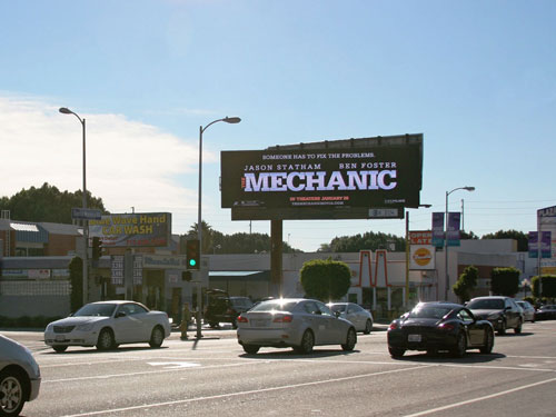
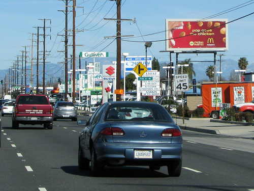
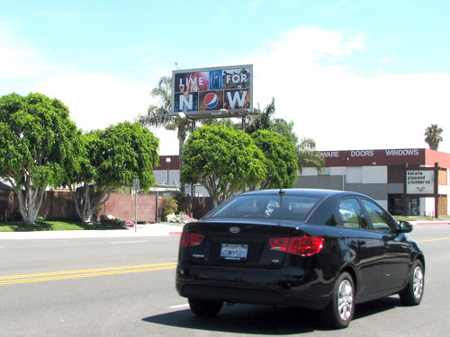
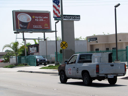
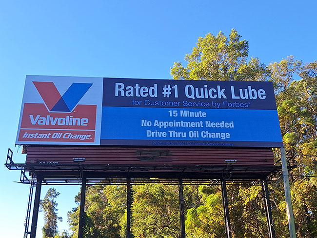
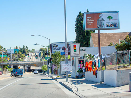
CA-99 (Bakersfield) (3 faces) — the highest-face-count billboard corridor in the Bakersfield DMA, running north–south through the heart of the Bakersfield metro as the primary freeway connecting Bakersfield to Fresno and the greater San Joaquin Valley to the north and Los Angeles via the Grapevine to the south — the dominant DMA freeway corridor reaching commuters, agricultural logistics drivers, and long-haul travelers along the Bakersfield metro CA-99 corridor. Union Avenue (South Bakersfield) (3 faces) — a primary south Bakersfield north–south commercial surface arterial along Union Avenue north of Planz Road — anchoring south Bakersfield commercial and residential traffic, reaching neighborhood retail consumers and south Bakersfield commuters. Flower Street (Bakersfield) (2 faces) — a primary central Bakersfield east–west surface arterial along Flower Street at Virginia Street — anchoring central Bakersfield residential and commercial traffic, reaching neighborhood and local business audiences in the central Bakersfield corridor. Truxtun Avenue (Central Bakersfield) (2 faces) — a primary central Bakersfield east–west commercial boulevard along East Truxtun Avenue west of Williams Street — the primary downtown and professional services corridor, reaching civic, office, and professional services audiences in central Bakersfield. Hwy 119 / Ming Avenue (Southwest Bakersfield) (2 faces) — a primary southwest Bakersfield corridor position along Highway 119 at Hughes Lane — anchoring the southwest Bakersfield suburban retail, medical, and residential market, reaching suburban shoppers, healthcare audiences, and southwest Bakersfield residents. Additional coverage on CA-58 (east Bakersfield to Mojave Desert), Rosedale Highway / CA-204 (north Bakersfield), Ming Avenue (southwest Bakersfield retail corridor), Coffee Road (northwest Bakersfield), and Stockdale Highway (west Bakersfield). |
| Attractions and Neighborhoods |
California State University Bakersfield (Bakersfield — the primary Bakersfield DMA university and the dominant regional higher-education employer and economic driver, anchoring the CSUB student, faculty, researcher, and Roadrunner athletics billboard market along Stockdale Highway and the primary CSUB campus and university corridor); Kern County Oil and Gas Economy (Bakersfield / Taft / McKittrick — the primary DMA energy sector billboard demand driver, anchoring the primary Kern County oil field, petroleum engineering, oil field services equipment, and energy workforce billboard market along CA-99, CA-58, CA-33, and the primary Kern County oil field and petroleum corridor; Bakersfield is historically known as the “Oil Capital of California” and the primary Kern River, Midway-Sunset, and Elk Hills oil field services commercial billboard market); Mechanics Bank Arena (Bakersfield — the primary Bakersfield DMA indoor entertainment and sports arena, anchoring the primary downtown Bakersfield event, concert, and Condors hockey billboard market along Truxtun Avenue and the primary downtown Bakersfield civic and entertainment district, generating peak billboard demand during hockey season and major concert and event dates); Buck Owens’ Crystal Palace (Bakersfield — the primary Bakersfield DMA country music and Bakersfield Sound cultural heritage landmark, anchoring the primary Bakersfield country music, dining, and entertainment tourism billboard market along Buck Owens Boulevard and the primary Bakersfield entertainment and country music district); Kern River and Lake Isabella (Kern County — the primary Bakersfield DMA outdoor recreation and water sports destination, anchoring the primary Kern River corridor, Lake Isabella, and Kern County recreational outdoor billboard market along CA-178 between Bakersfield and Lake Isabella); Bakersfield neighborhoods: Amberton, Casa Loma, City in the Hills, College Heights, Downtown, East Bakersfield, Greenacres, Haggin Oaks, Hillcrest, Kern City, La Cresta, North Country Meadows, Northeast Bakersfield, Oleander/Sunset, Park Stockdale, Quailwood, Rio Bravo, Rosedale, Seven Oaks, Silver Creek, Stone Meadows, Stockdale Estates, Tevis Ranch, Tyner Ranch, Westchester; Surrounding communities: Delano, Ridgecrest, Tehachapi, Wasco, McFarland, Shafter, Taft, Arvin, Lamont |